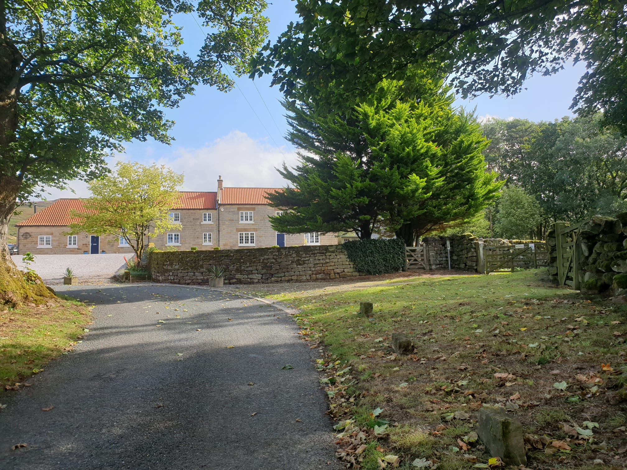
No surprise that this Chop Gate routes starts from the Village Hall car park.
This route incorporates parts of a previous Chop Gate route (Chop Gate to Urra Moor) but in reverse and a little bit of (Chop Gate to Urra) along the top of Urra Moor. Plus a couple of Lordstones routes (Up, down, up, down and loop back to Lordstones) and (Lordstones Peaks).
A long trek with a few uphills, heading through Chop Gate and then uphill to the moors following the final part of the Chop Gate to Urra Moor route but in reverse. On the moors the route follows part of the Urra Moor hike along the top of the moors to the Cleveland Way.
Then its downhill and then uphill to Hasty Bank, which was done in reverse as part of the Lordstones Peaks tour. Downhill from the Wainstones and uphill to Cold Moor which was part of the "Up, down, up, down and loop back to Lordstones" trek.

Leaving the car park as per normal, but this time turning left and following the road through the village.

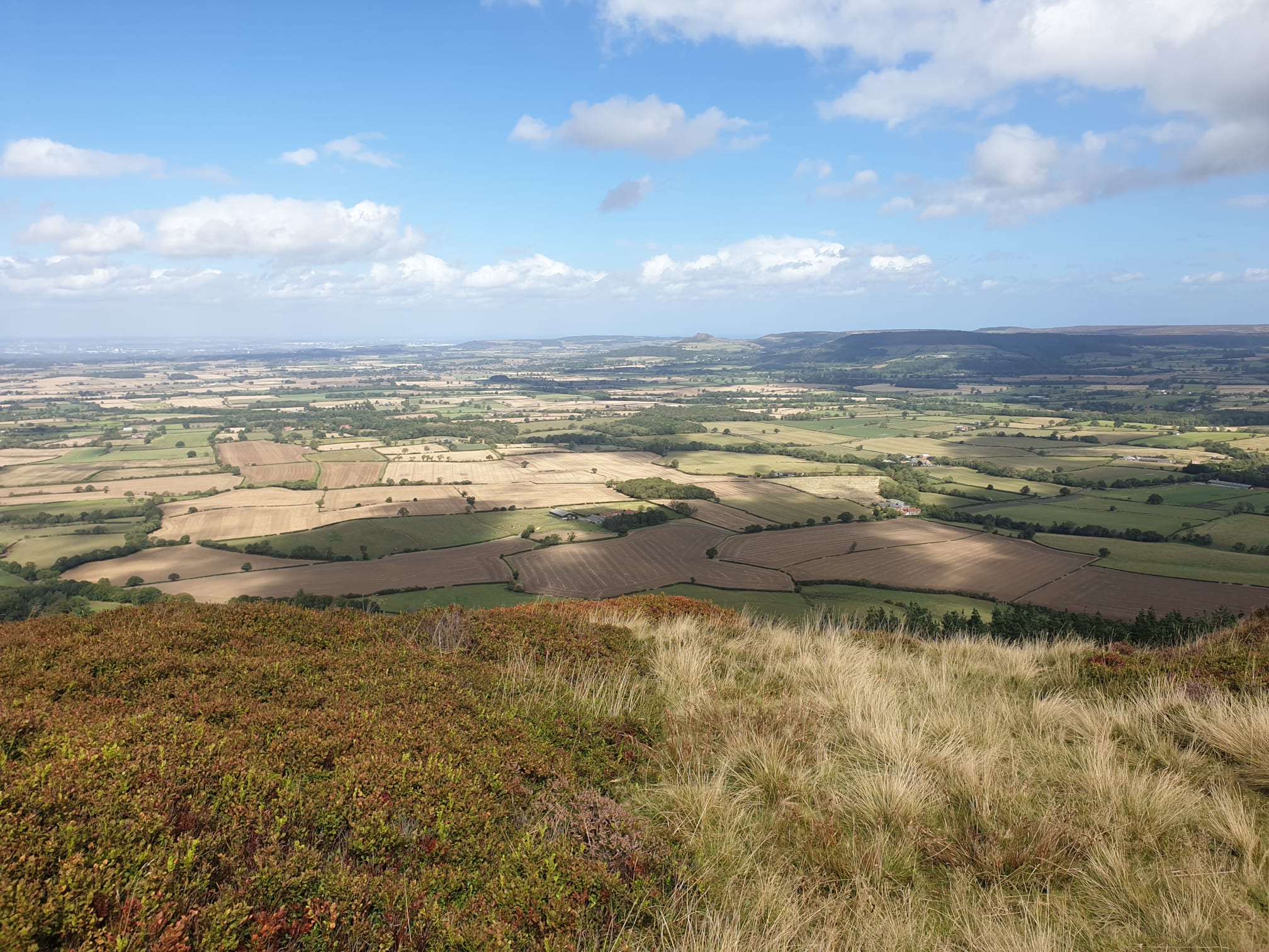
Crossing the road to get a quick pic of the distant moors where this route is heading.

After following the road for a few minutes, take the road off to the right by Seave Green. You'll see this ford which was near the end of the Chop Gate to Urra Moor hike BUT we aren't crossing it this time.

Keep heading North East along the nice quiet road uphill.

Turning right at this gate by Bilsdale Hall.
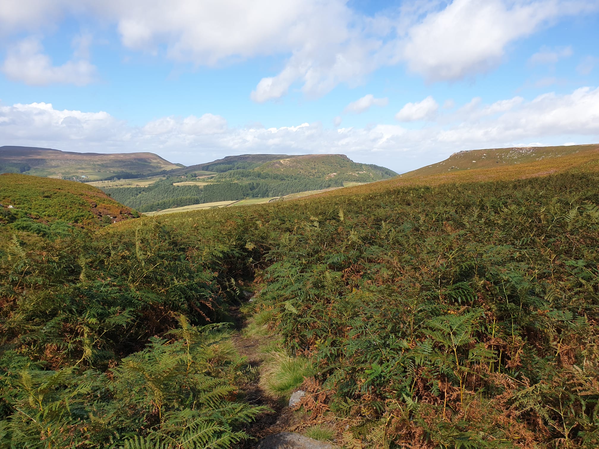
The path turns from track to grassy path as you head up to the moors. It's a steady, uphill trek for a short while.

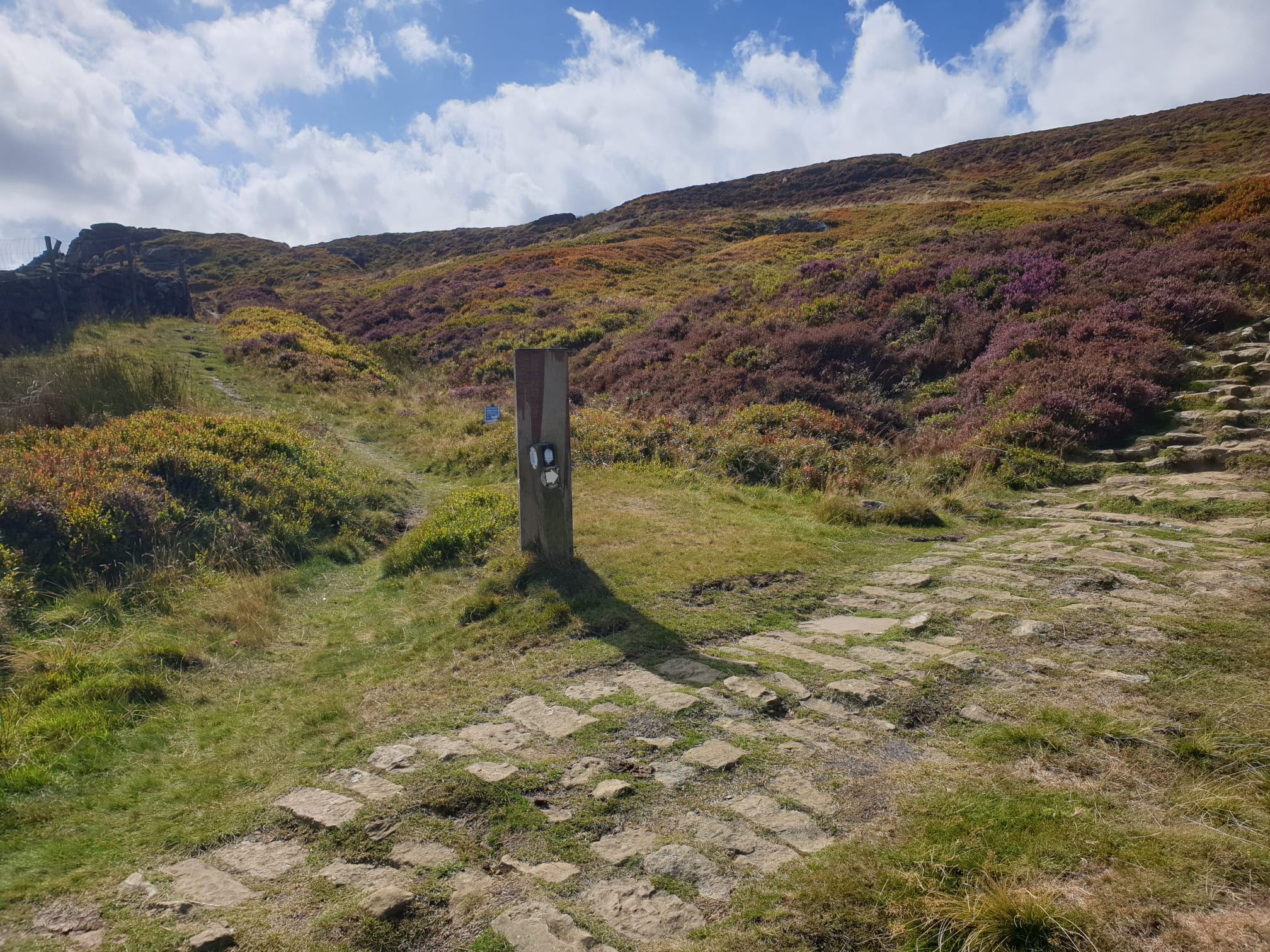
Finally getting to the moors and this grassy footpath junction where the route takes us left.

For the next couple of miles the route follows the same path along the top of Urra Moor with the valley to the left.

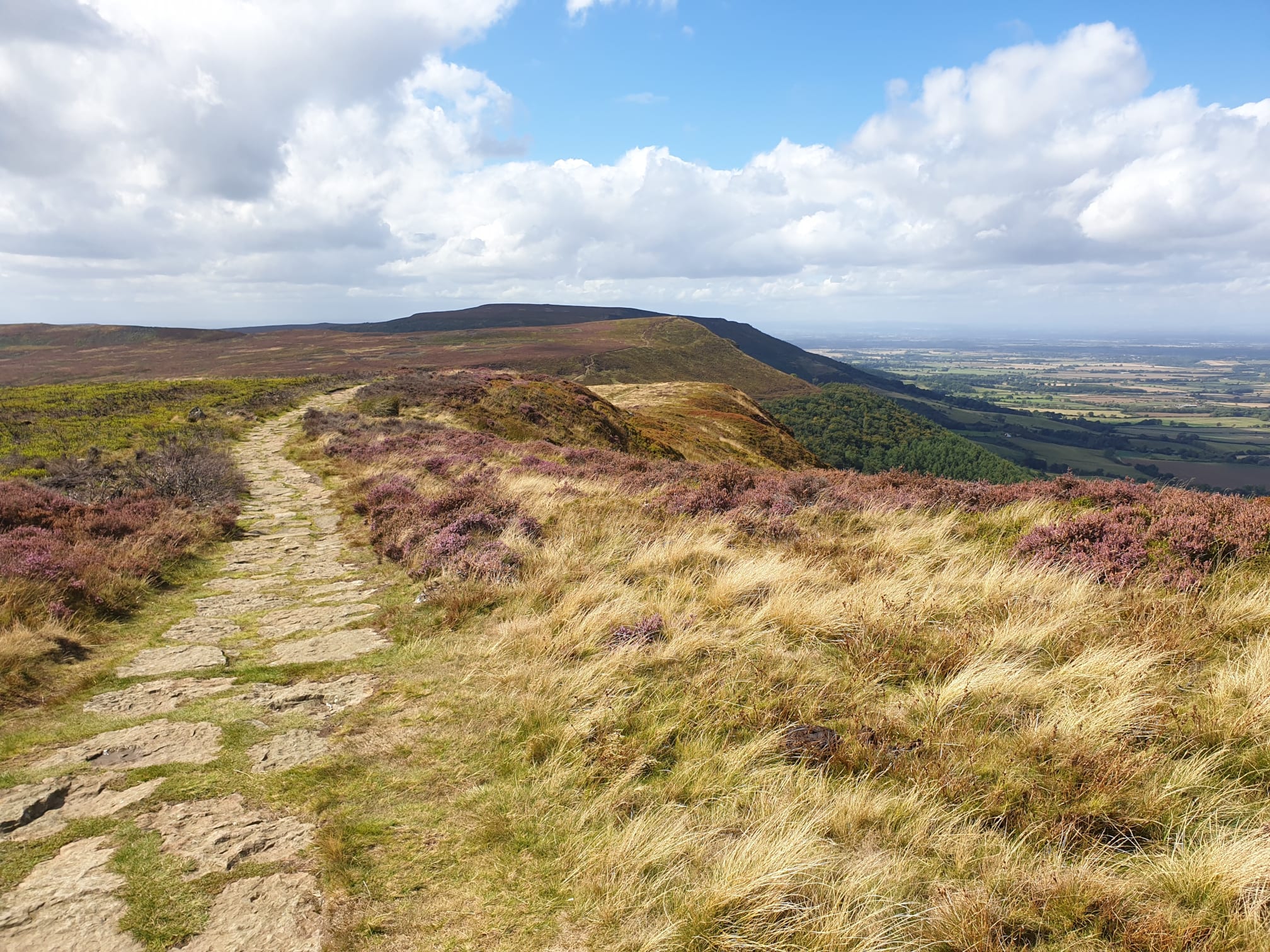
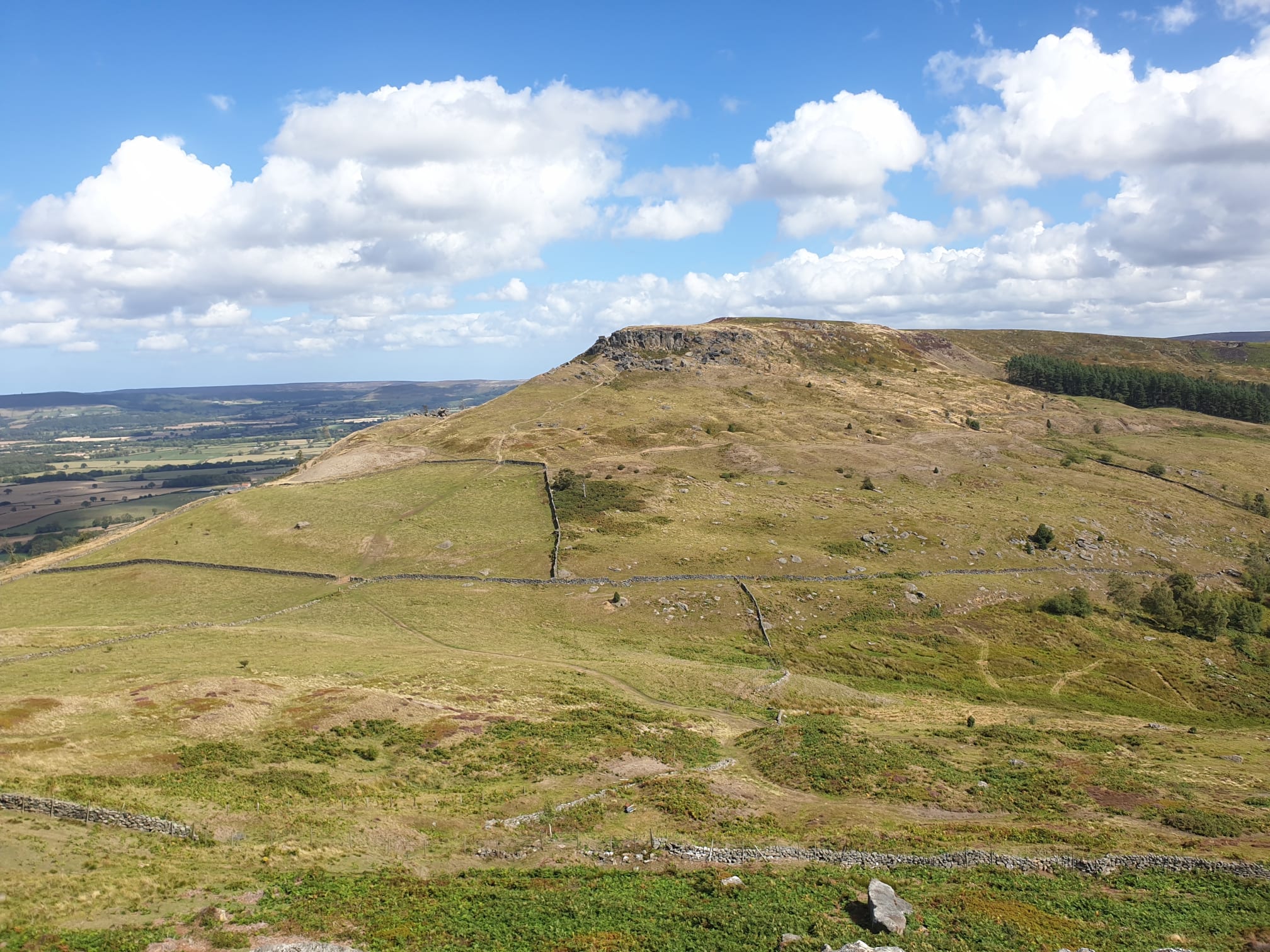
In the distance is the hill this route will be heading up via Hasty Bank, along the top and down by the Wain Stones later. With Roseberry Topping in the far distance.

Keep following the path along the top, heading straight over this junction down to Urra.
Watch where you step!

As the previous pic suggested with a toad, it can get a bit marshy at some points. There are often stepping stones or foot bridges to help you avoid getting your feet wet.

This is the point, by Cowkill Well, where the path turns from heading East to heading North. Now heading towards Hasty Bank via Carr Ridge on the right.
It wouldn't be a Moors Tiggy Tour without a sheep pic.

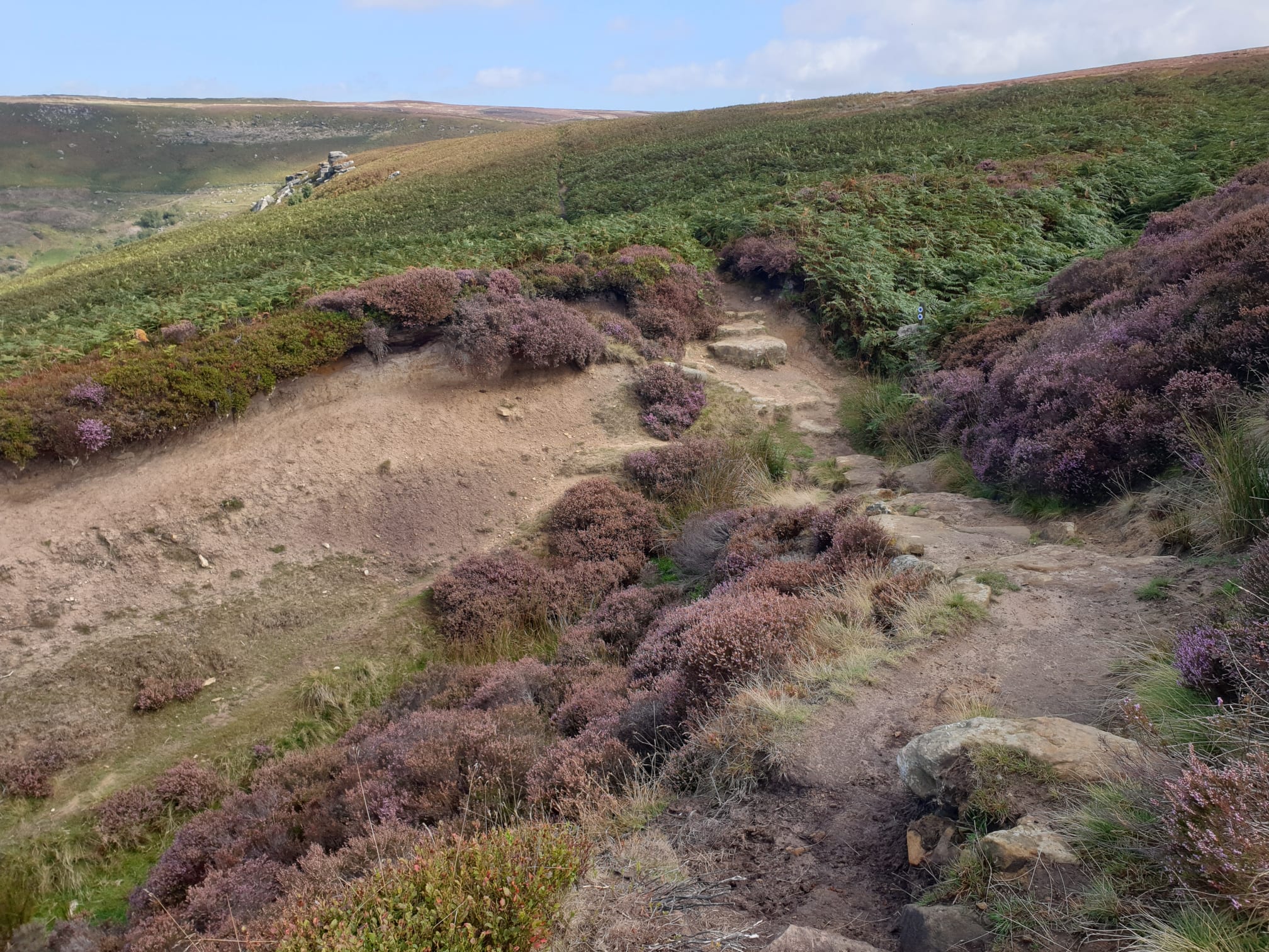
A waymarker stone is visible near the footpath north along the top of Carr Ridge.

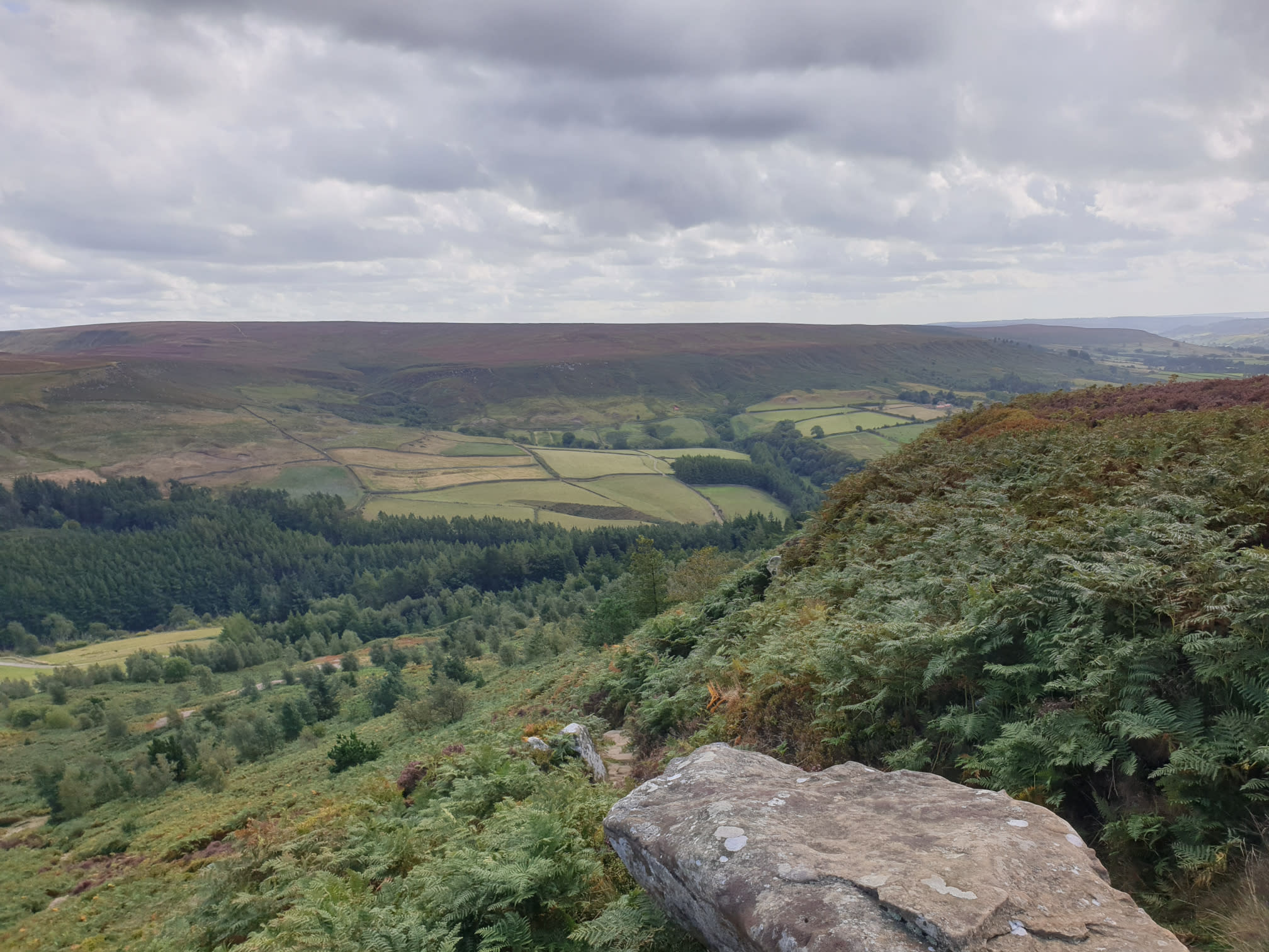
It is at this point where the route starts heading downhill and West along the Cleveland Way. This path is a little busier but much easier to walk on with it being stone for most of the way.

The view from the top, showing Hasty Bank and the top of the hill in the distance that this route is about to climb up.

At tis lowest point here, the Cleveland Way crosses the road to Chop Gate. There are a few parking spaces by this route here, a possibility for starting another trek in this area.

Time to head uphill, here its quite steep all the way up to the top.

Looking back at where the route had us earlier.

Uphill...

And more uphill...

Finally at the top, looking back at the moors where we'd been earlier.

And further around showing much earlier in the hike, the uphill to the moor top.
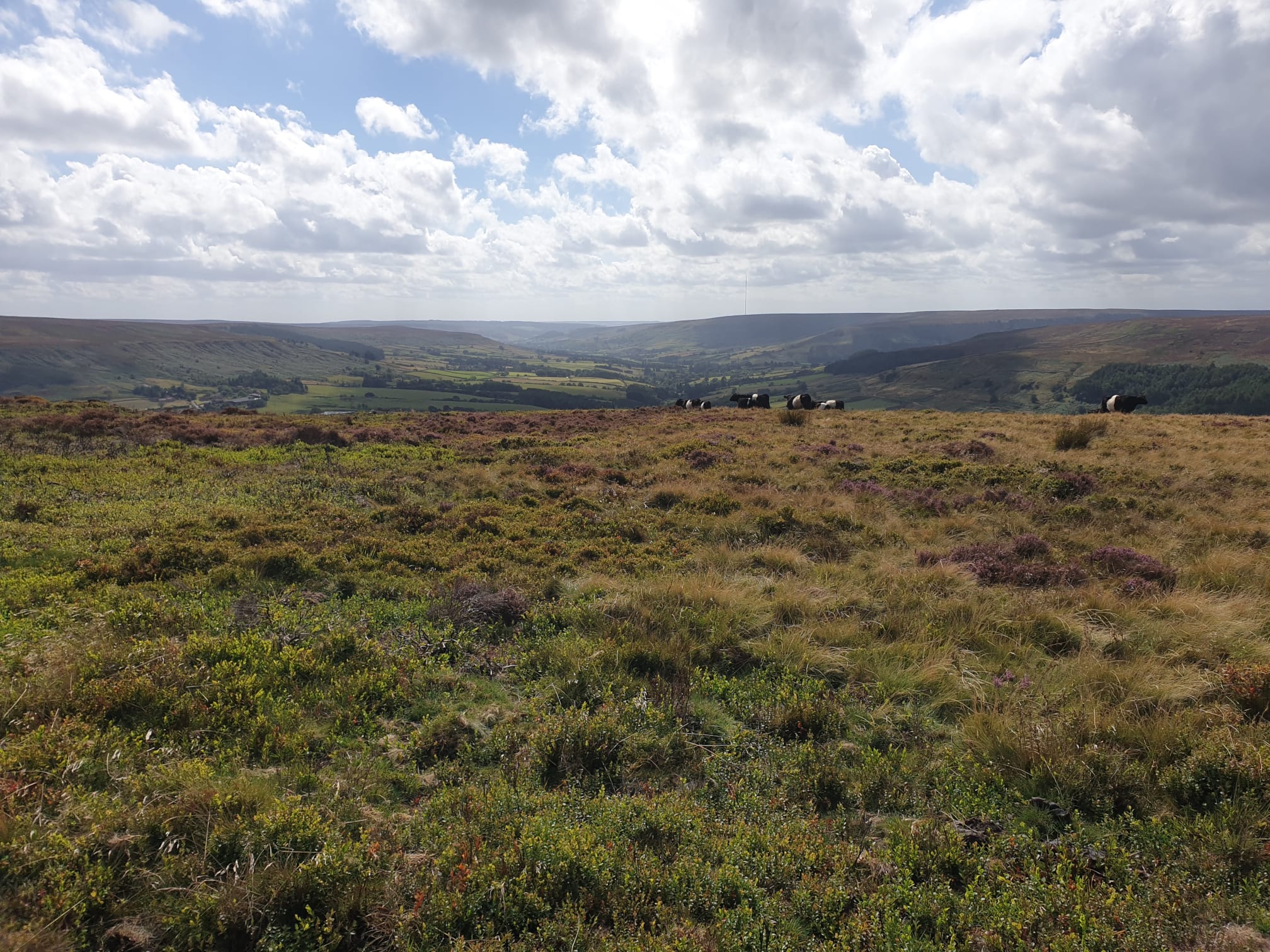
From the top of Hasty Bank looking North to Roseberry Topping.
Looking South, behind the cows, is the valley to Chop Gate we headed up and are about to head down.
Keep following the Cleveland Way, West, this path was covered in the Lordstones Peaks tour.
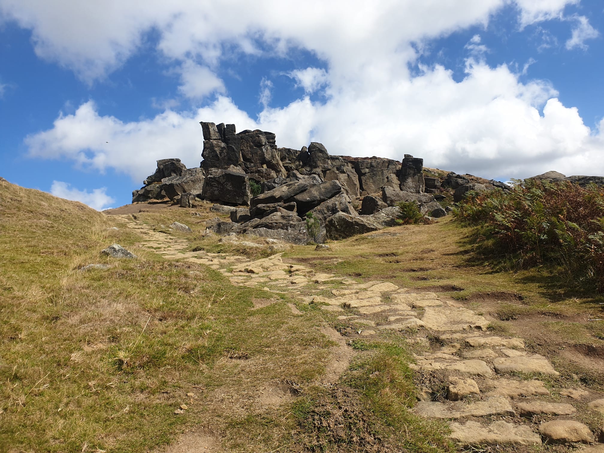
After a short while the path takes you to the Wain Stones.

A bit of a scramble, climbing downhill over some big rocks.


After exploring the Wain Stones its time to head downhill followign the Cleveland Way. This pic shows the route back uphill alongside a drystone wall.

Head through a wooden gate and then leave the Cleveland Way, turning left at this footpath junction.
A steep, grassy path takes you uphill, giving the opportunity for another look back at the Wain Stones.
The path then turns into a narrow dirt path through the heather, gradually uphill to the top of Cold Moor.

Here the path joins the main path, south, along Cold Moor. This path was also covered in the Lordstones route Up, down, up, down and loop back to Lordstones.

Keep following the path south.


Another look back at where the route had been earlier, the below three pics cover most of the route so far.


Mostly the path is a nice easy, wide dirt track, but can get a little marshy in places.

The final part of the top of Cold Moor, taking the track to the left and back down to Chop Gate.

It's all downhill from here along Cold Moor Lane.

One final look over the valley at where the route started with the uphill path to the moors, a little to the left of the woods on the far side.

This young pheasant helped lead the way back down the path to Chop Gate.

Thanks to the pheasant I found Chop Gate. At this point, by the Church, the path joins the main road where it was just a case of retracing my steps through Chop Gate to the Village Hall and Tiggy.
